Fleet tracking
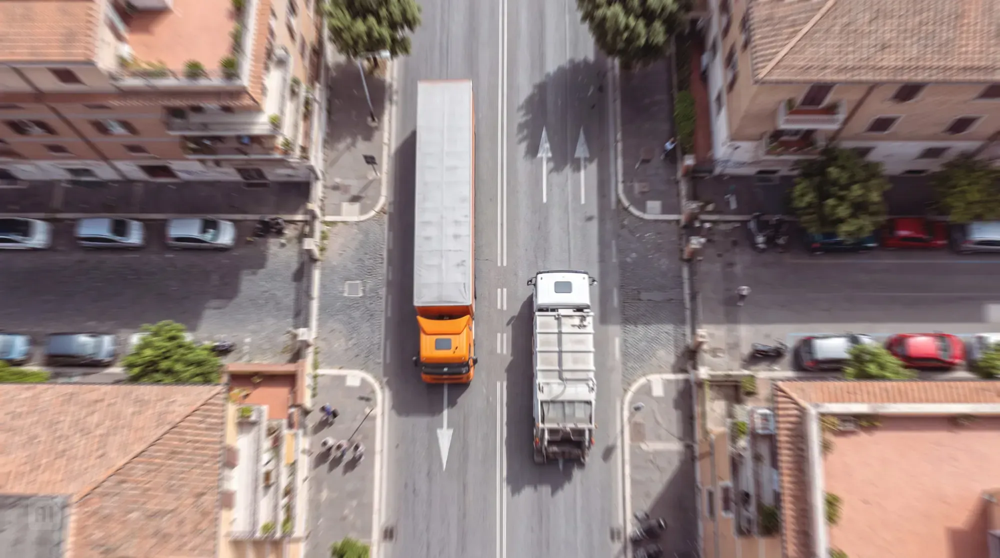
Large fleets, detailed oversight across the operating area: a professional, modular solution for tracking vehicles and coordinating activities.
Arcoda’s professional, reliable and modular satellite fleet tracking solution is designed to manage large fleets and complex operational environments. It displays vehicle location, speed and status in real time, while route history supports checks, analysis and reporting. Features and integrations can be configured to suit specific needs, improving coordination, oversight and operational efficiency.
Who is it for?
Companies and organisations that manage large fleets and activities across an operating area, such as waste and environmental services providers, transport companies, consortia and service operators.
Benefits
Full fleet visibility
Real-time tracking displays vehicle location, direction and status on a map, providing an up-to-date view even of large, mixed fleets and making managers’ work easier.
More effective coordination
Knowing where vehicles are makes it easier to organise movements across the operating area, identify the vehicle nearest to a given point and estimate the distance and time needed to reach it, reducing unnecessary travel.
A clear record of routes travelled
Historical records make vehicle tracks available over time, both on a map and in tables. Journeys, stationary periods and stops can then be reviewed for analysis and checks.
Greater oversight of key areas
Virtual boundaries, or geofences, allow vehicle presence and movements to be monitored within key areas such as work sites, operational bases and delivery points. Entries, exits, passes through these areas and stationary periods can then be reviewed more readily.
In depth
A natural response to growing management complexity
As the number of vehicles increases, management becomes more complex. Different types of vehicles carrying out different activities across wide areas make it difficult to know immediately where each resource is and its operating status. Phone calls, messages and manual updates take time and produce fragmented, often delayed information, affecting the timeliness and quality of decisions.
Without a centralised view, it becomes harder to identify the nearest vehicle, coordinate movements, reduce unnecessary travel and reconstruct routes, stationary periods and passes through areas. Categorising and viewing vehicles by type, area or function can also become time-consuming. Managing this complexity requires a professional platform capable of turning fleet data into organised, up-to-date and easily accessible information.
Track your fleet with a professional, reliable and modular solution
Digitising the fleet provides a response to these management challenges. Using onboard devices, the solution acquires and processes data on vehicle GPS location and operating status, making them available through a centralised web platform and mobile apps. Information is organised into maps, tabular dashboards and reports, providing a continuous, detailed view of activities across the operating area. Designed to support complex operational environments, the solution delivers high monitoring performance and provides valuable data for overseeing and planning activities.
The modular structure allows features and integrations with Arcoda or third-party software to be activated, extending the solution to suit the fleet’s characteristics and the organisation’s objectives. When integrated with other Arcoda solutions, it connects vehicle tracking with the management of teams, service tasks and operational processes, supporting more effective coordination, greater safety and decisions based on objective data.
Features
01
Web portal and app
02
Integration capability with business systems
03
Features designed to support complex operational environments
04
A platform focused on satellite tracking, working in synergy with GIS functionality
Products that make up the solution

Discover how to use Arcoda solutions in your operational processes.
Tell us about your needs: together, we’ll identify the ideal solution for your processes.